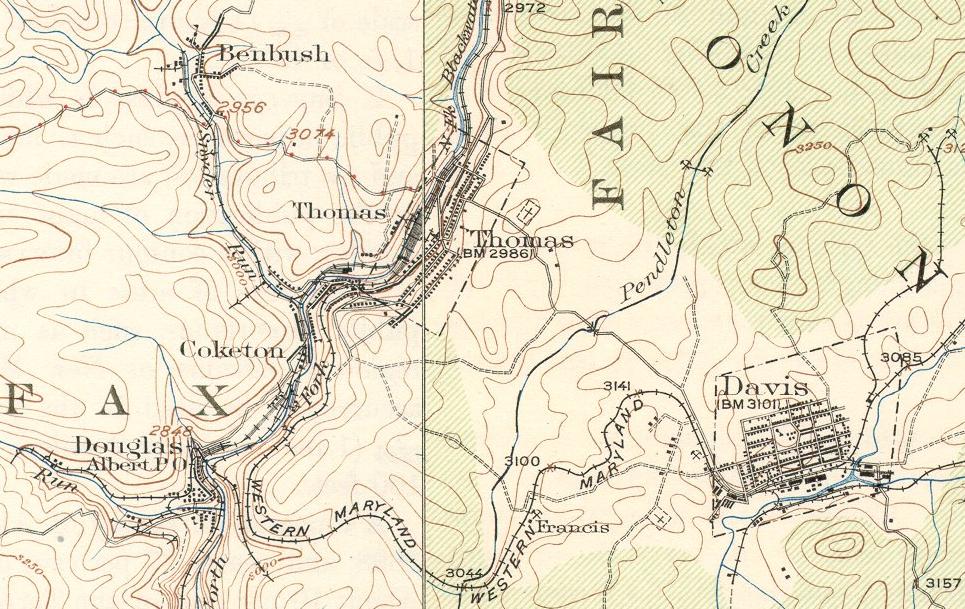
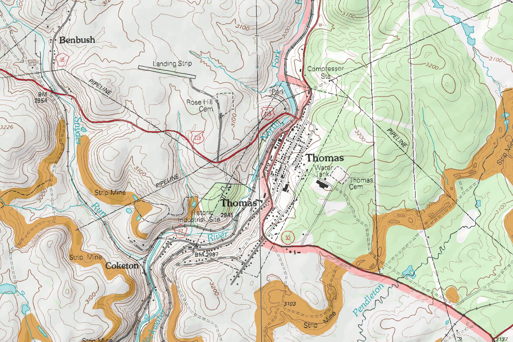
First topo map is a spilt map of 1926(left) and 1921(right) joined at the center of Thomas at the horizontal line. Second topo map is from 2012 and still shows the railroad.
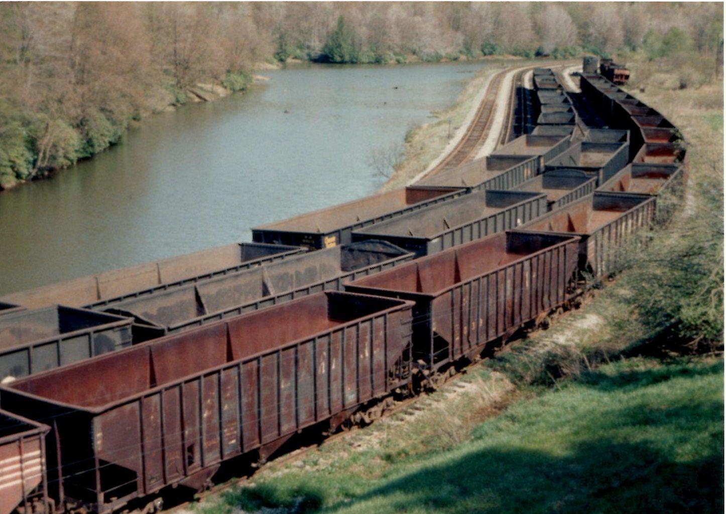
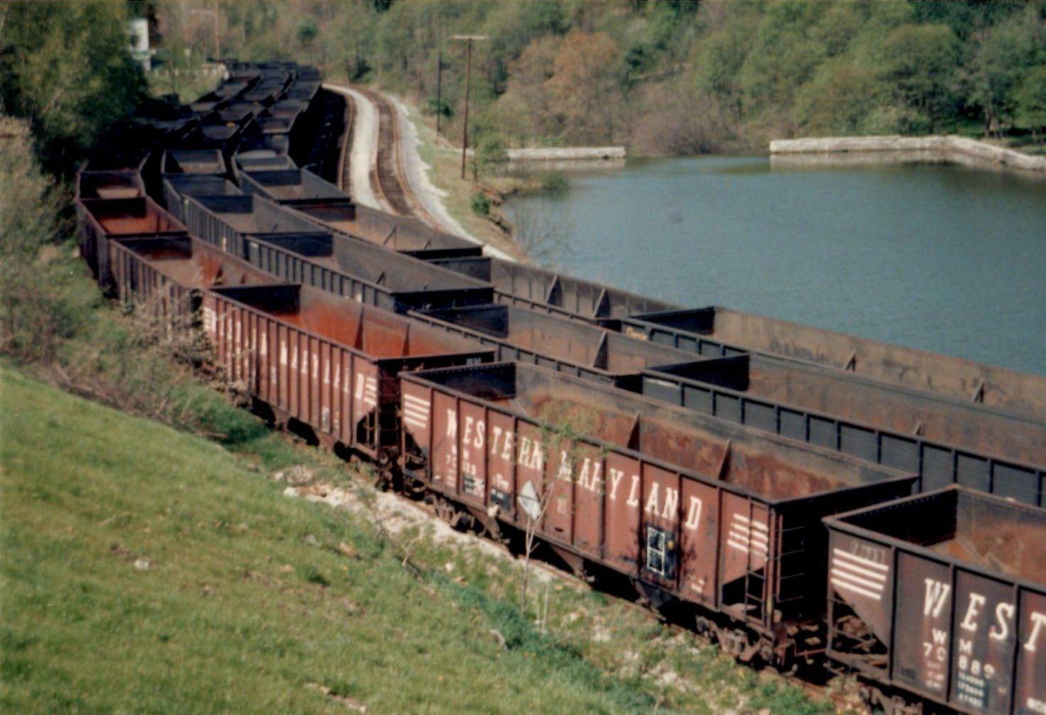
The Thomas Yard tracks had a combined car capacity of 350 cars between the East and West End of Thomas.
View Larger Map
|